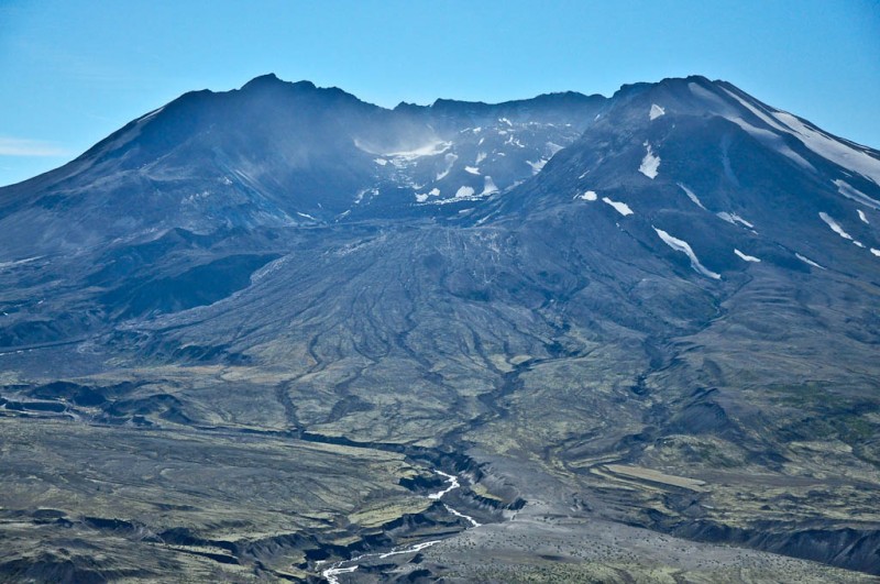
 above: The crater and missing North face of Mt. St. Helens
When you think of mountains, you usually think of a permanent static structure, like an old friend that you can always count on being there. After all, mountains are massive hunks of rock, part of the earth. They aren’t going anywhere! They are indestructible, changeless parts of the landscape. So we think.
Of course geologists don’t think like that at all. To them, the earth is alive. The Himalayas are still growing 1cm. every year. And, the Appalachian Mountains, which are small in comparison, are believed to have been taller than the Himalayas – 460 million years ago!
And that is where the average person like myself differs from a geologist; I think in terms of a human lifetime and geologists think in numbers of years with lots and lots of zeros at the end.
Then a mountain like Mt. St. Helens speaks and restructures the way the average person thinks about permanence. On May 17, 1980 the peak stood 9677 feet tall. On May 18, 1980, the top of the mountain and the whole north face were gone and it now stood only 8365 feet tall. So much for permanence.
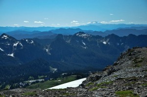
left: The flat mound in the distance is Mt. St. Helens as seen from Mt. Rainier.
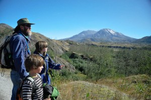
When we stood on Mt. Rainier last week and surveyed the landscape, we saw the pointy peaks of Mt. Hood and Mt. Adams and then there was another mound with a flat top, that was Mt. St. Helens. Of course it looked just like the other two peaks prior to the 1980 eruption. The Hippygeek had studied about Mt. St. Helens in school, the Dudes wanted to see a real Volcano and I just had to go see the place for myself. So, off we went.
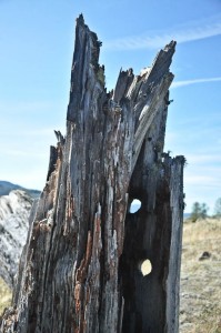
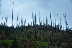 right: “Naked” tree trunks still standing after 30 years.
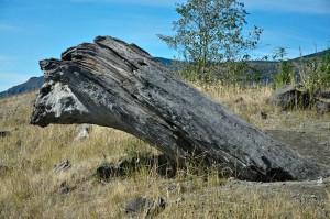
There are two roads to the mountain; one approaches from the East, one from the West. We took the road on the East side first. It turned out to be 26 miles of tight turns and twists through the forest (not recommended for those prone to car sickness). We eventually came out of the forest to the zone of destruction where there are still remnants of trees standing on an almost barren landscape 30 years after the eruption.
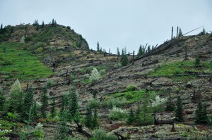
left: Timbers still lie in the direction of the blast.
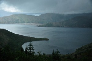
It was a grey Northwest day and the valleys were filled with clouds. The chance of seeing the peak was doubtful. When we got to the end of the road where the viewing platform was, the valley had a ray of sun lighting it up but the peak was shrouded. A minute later (literally), we couldn’t see our car from the sidewalk 10 feet away. Another minute later, the valley once again opened up with a ray of light shining on Spirit Lake. On and on it went. It was pretty weird and eery. The clouds were moving in and out and appearing and disappearing before our eyes. We never got to see the peak.
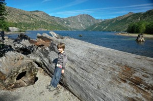
right: logs are still piled up in Spirit Lake from the blast (far back corner).
Of course, this meant that we would have to try again the next day from the West. Fortunately, the skies were clear and the road, although a bit longer, was more “stomach friendly”.
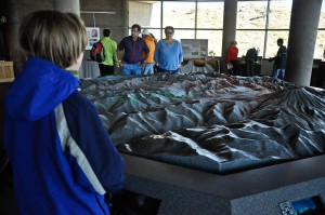
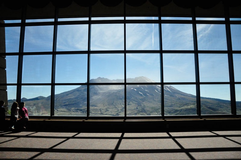
The visitors center is situated on a hill with a front row seat to the whole volcanic scene. We could see the entire mountain, minus a top and north side, the valley filled with the mudflow (lahar), and the barren hillsides. The visitor center is quite nice with interactive exhibits, regularly scheduled Ranger talks and a theatre with geologic and biologic movie presentations about the mountain past and present.
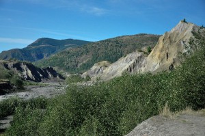
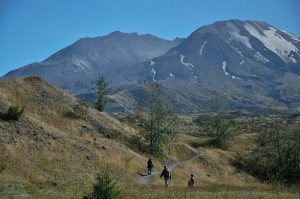
We also took a hike through some of the Hummocks. They are mounds in the earth that used to be part of the mountain before the eruption. I walked around wondering where this rock and that rock used to be in the mountain before it got blown to it’s new home several miles away. Plants and animals have returned to the area but, the destruction is still evident in the landscape.
right: Hummocks and lahar flow in the valley below the mountain.
The eruption in 1980 was the deadliest and most economically destructive volcanic event in the history of the United States with fifty-seven people killed; 250 homes, 47 bridges, 15 miles (24 km) of railways, and 185 miles (298 km) of highway destroyed.
left: A giant tree that tumbled with the mud flow and was deposited “top down” in the earth.
right: trees as large as 7 feet in diameter were snapped like toothpicks.
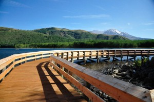
left: Coldwater Lake was formed by the “daming” of a creek from the mud flow.
right: Mt. St. Helens is seen from Coldwater Lake.
The mountain has become a National Historic Monument and laboratory for scientists to study volcanic activity. It also provides the average person an opportunity to see a permanent structure like a mountain completely change therefore giving us an opportunity to rethink our own perceptions and in our own terms, the ideas of permanence and change.
“There is nothing permanent except change”. Heraclitus




4 Responses to Mt. St. Helens